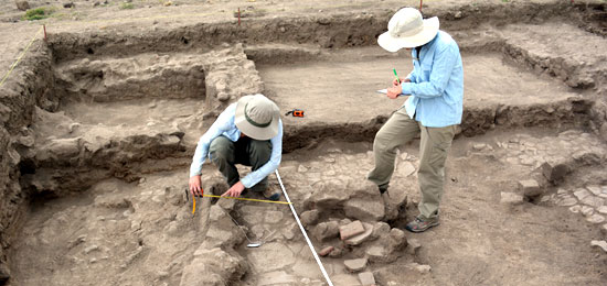
PATT 2014 has begun!
During summer of 2014 we are continuing to expand our geospatial mapping, with the hopes of completing a GPS map of the entire district and mapping more subsurface architecture using geophysical methods. We are also currently excavating in two areas: at Compound 18:S3E1, one of Teotihuacan’s approximately 2300 multi-family residential compounds; and along the southern Street of the Dead. These investigations will provide new information regarding the tempo and processes involved in the urbanization of the city, and what daily life was like for a few generations of families living in this southern sector.


