News
GLanCE at AGU 2022
Come see members from our project present at AGU. Below is a schedule of the presenters and their talks!
Wednesday: December 14, 2022
- Paulo Arevalo: Moderate Spatial Resolution Mapping of Global Land Cover and Land Cover Change Across Multiple Decades from Landsat
Friday: December 16, 2022
- Kai-Ting Hu: Two decades of post-disturbance land cover changes in Arctic and boreal ecosystems of North America
North America released!
We are excited to announce that our first data products have been released! North America land cover and change maps at 30m resolution are available here! We will continue to release other continents on a rolling basis.
GLanCE at Pecora 2022
Come see members from our project present at Pecora. Below is a schedule of the presenters and their talks!
Tuesday (10/25/2022):
- Pontus Olofsson: Comprehensive monitoring of environmental change: new opportunities for capacity building
Wednesday (10/26/2022):
- Mark A. Friedl: Moderate Spatial Resolution Mapping of Global Land Cover and Land Cover Change Across Multiple Decades from Landsat
- Mark A. Friedl: Observing and Modeling Land Surface Phenology at Local, Regional, and Global Scales Using Remote Sensing
- Curtis Woodcock: Perspectives on the explosion of use of Landsat data
Thursday (10/27/2022):
- Yingtong Zhang: Mapping causal agents of forest disturbance in high latitudes
- Radost Stanimirova: Widespread Changes in 21st Century Vegetation Cover in Argentina, Paraguay, and Uruguay
- Paulo Arévalo: Mapping dry forest in two regions of Colombia using Landsat time series
- Radost Stanimirova: A Global Training Dataset of Land Cover from 1985 to 2019 for the Global Land Cover Estimation (GLanCE) Project
- Paulo Arévalo: Improving the temporal consistency of global land cover and land cover change maps across multiple decades using Landsat time series
Two new papers published!
In June two different papers related to the project were published in Frontiers. The first, titled A Global Analysis of the Spatial and Temporal Variability of Usable Landsat Observations at the Pixel Scale, analyzed the data density variability across space and time for Landsat time series (Zhang et al., 2022).
The second, titled Medium Spatial Resolution Mapping of Global Land Cover and Land Cover Change Across Multiple Decades From Landsat, presented initial results from the project (Friedl et al., 2022).
GLanCE at AGU 2019
December 23, 2019
The GLanCE team had some successful project representations at the 100th anniversary annual fall meeting of the American Geophysical Union (AGU) in San Francisco, California, from December 9th - 13th. The meeting was attended by over 24,000 scientists ranging from the fields of Earth, oceanic, atmospheric and space sciences.
Post-doctoral researcher Dr. Konrad Turlej presented his statistical clustering-based approach for identifying representative land cover sample locations to improve training data in a poster (below, left), while project admin. Katelyn Tarrio presented an overview of project goals, methods and early results (below, right).
Feedback was overwhelmingly positive, with much interest and excitement from the user community on learning from and using the clustering-based training data augmentation method as well as using GLanCE maps for various applications.

Below are citations and electronic versions of posters:
Tarrio, K., Bullock, E.L., Arevalo, P., Turlej, K., Zhang, Y., Holden, C., Pasquarella, V.J., Friedl, M.A., Woodcock, C.E., Olofsson, P., Zhu, Z., Loveland, T.R. (2019), Global Land Cover mapping and Estimation (GLanCE): a multitemporal Landsat-based data record of 21st century global land cover, land use and land cover change. Fall Meeting of the American Geophysical Union, Dec. 9-13, 2019, San Francisco, CA.
An approach for collecting and evaluating land cover training data using time series of Landsat data
Turlej, K., Woodcock, C.E., Tarrio, K., Zhang, Y., Arevalo, P., Bullock, E.L., Friedl, M.A. (2019), An approach for collecting and evaluating land cover training data using time series of Landsat data, Fall Meeting of the American Geophysical Union, Dec. 9-13, 2019, San Francisco, CA.
CCDC implemented on Google Earth Engine
September 14, 2019
The Continuous Change Detection and Classification (CCDC) algorithm has been officially implemented on Google Earth Engine for public release. CCDC can be found under the Earth Engine algorithms documentation tab under 'temporal segmentation', appearing as ee.Algorithms.TemporalSegmentation.Ccdc. This marks an important step for GLanCE, as we are sure to utilize Earth Engine's computational infrastructure for processing and mapping.
We thank the engineers at Google Earth Engine, particularly Noel Gorelick, as well as Zhiqiang Yang from Oregon State University for implementing CCDC in an accessible platform for the broader user community.
Spring workshop in May 2019
May 5, 2019
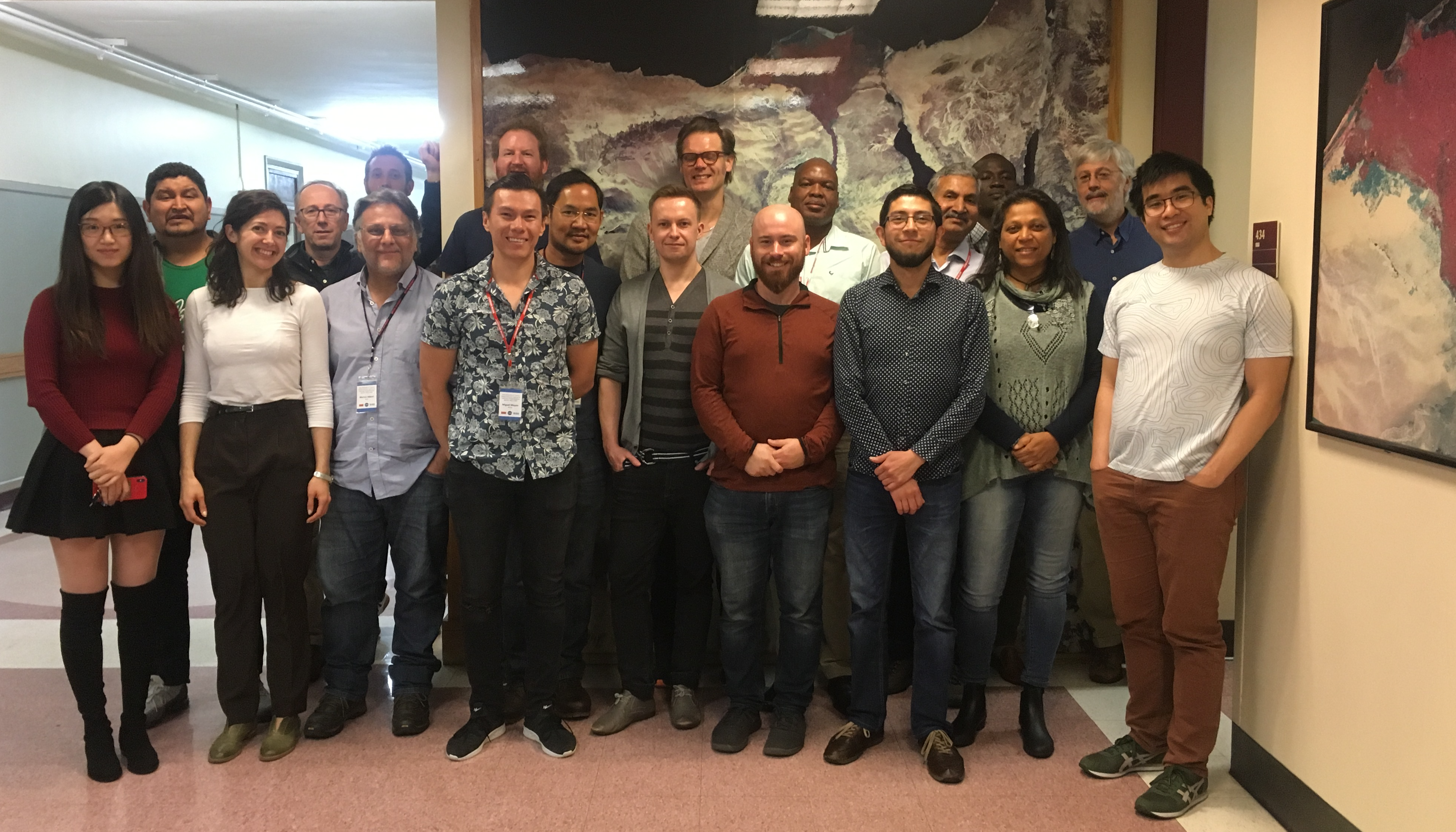
Our first annual spring workshop was held from April 28th - May 3rd. The goal of this workshop was to foster collaboration, receive diverse scientific feedback on our land cover classification system and build capacity for training and reference data collection abroad. The Boston University team provided demonstrations, software installation guides and instruction on using our cloud-based applications developed for land cover interpretation and time series visualization; collaborators provided guidance on analyzing diverse land covers and change processes in their areas of regional expertise and datasets of interest.
The Boston University team thanks all that attended and greatly appreciates the productive discussions. We look forward to next year's workshop!
See more photos of working sessions and research presentations below:

Workshop in Spring 2019!
October 30, 2018
Our first workshop with the full suite of our collaborators will be held at Boston University from April 29th - May 3rd!
Our core goals will be to:
- Introduce everyone on the team to the project
- Describe our mapping and estimation methodologies
- Familiarize everyone with our applications for collecting training data for mapping and reference data for area and map accuracy estimation
- Begin the process of developing a collaborative model for compiling and assessing global training and validation data sets in support of global 30-m land cover, land use and land cover change mapping