Find Conservation
Many of our research participants have asked us how they can identify conservation areas in their communities.
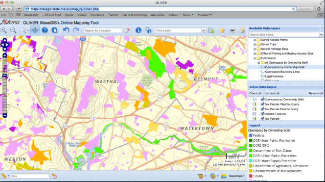
If you are interested in learning more about the conservation areas in your town, we suggest you explore Oliver, a mapping tool that is managed by the Massachusetts office of Geographic Information (GIS).
First, zoom into your community. Next, click to open the Conservation/Recreation folder and then the Openspace folder to add the Openspace by Ownership Solid layer to the map.
You can then use the identify tool at the top to identify the conservation areas in your community.
