
Getting Started
Here you will find information about reliable workflows that are useful for researchers interested in landscape archaeology and 3D visualization applications. The section contains tutorials, reviews, and useful links that are aimed to assist interested scholars who do not possess prior knowledge in 3D visualization techniques.
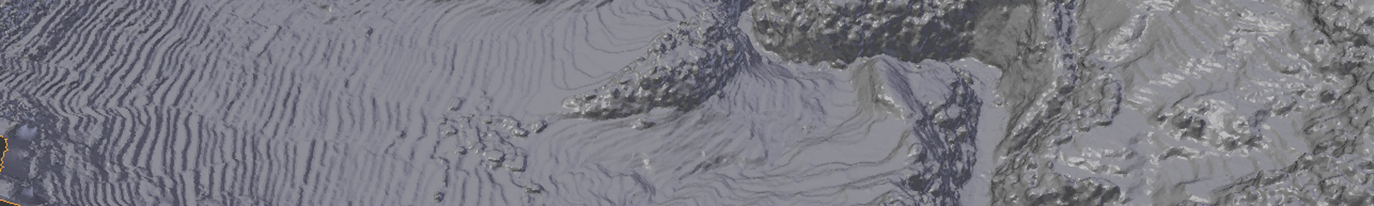
GIS Applications
![]()
ArcGIS is one of the most popular softwares for spatial analysis, capable of handling vector and raster datasets,
as well as small-scale visualizations in 2.5D format
GRASS is a free, open source software suite used to perform a variety of spatial analyses
Photogrammetry
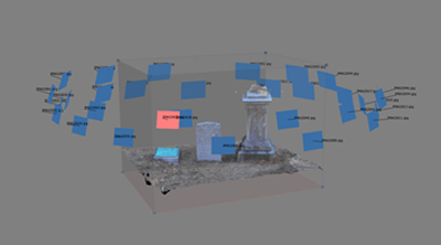
Agisoft Photoscan is a stand-alone software product that performs photogrammetric processing of digital images and generates 3D spatial data
3D Visualization Software
![]()
Blender3D
tutorials coming soon
![]()
Autodesk 3DS Max
tutorials coming soon
Gaming Engines
![]()
Unity3D
tutorials coming soon