LAI, Hemi and TRAC
Leaf Area Index (LAI)
LAI is the ratio of total upper leaf surface of a crop divided by the surface area of the land on which the crop grows.
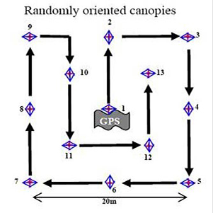
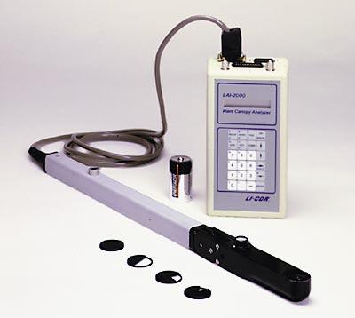
The LAI-2000 calculates the Leaf Area Index by measuring the amount of attenuation from vegetation at several angles about the zenith. During the campaign, measurements were taken under conditions of diffuse radiation at dusk, dawn and at times of complete cloud cover. A total of 12 measurements (10 measurements of under canopy and 1 before and after of above canopy) at each site were taken to arrive at an average LAI for that location.
Hemispherical Photos
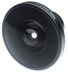
At each plot 13 hemispherical photos were taken using a Nikon Coolpix 5400 in conjunction with the LAI-2000 measurements. To arrive at LAI from hemispherical images we use the Hemiview software program. Hemiview inverts Beer’s Law to arrive at LAI.
![]()
Where,
G is the gap fraction
K is the extinction coefficient at angle ![]() , and
, and
L is LAI, ![]() is the zenith angle
is the zenith angle
Tracing Radiation and Architecture of Canopies (TRAC)
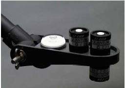
TRAC is a new optical instrument for measuring the Leaf Area Index (LAI) and the Fraction of Photosynthetically Active Radiation absorbed by plant canopies (FPAR). TRAC measures canopy ‘gap size’ distribution in addition to canopy ‘gap fraction’. Gap fraction is the percentage of gaps in the canopy at a given solar zenith angle. It is usually obtained from radiation transmittance. Gap size is the physical dimension of a gap in the canopy. For the same gap fraction, gap size distributions can be quite different. More details.
Sampling Plan

The sampling approach is based on clusters of local measurements that aim at representing a small group of pixels of a 20-m high spatial resolution satellite image.
.


